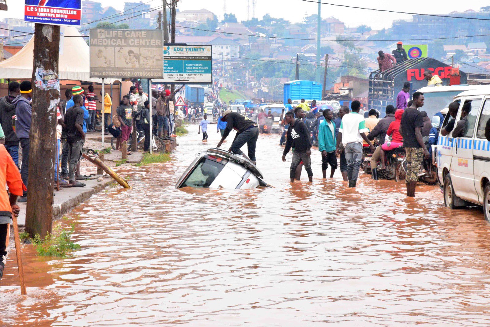

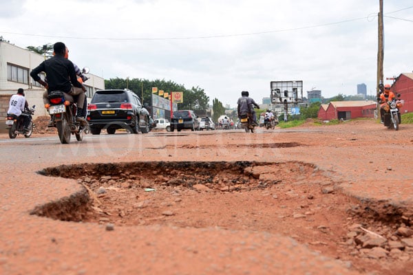
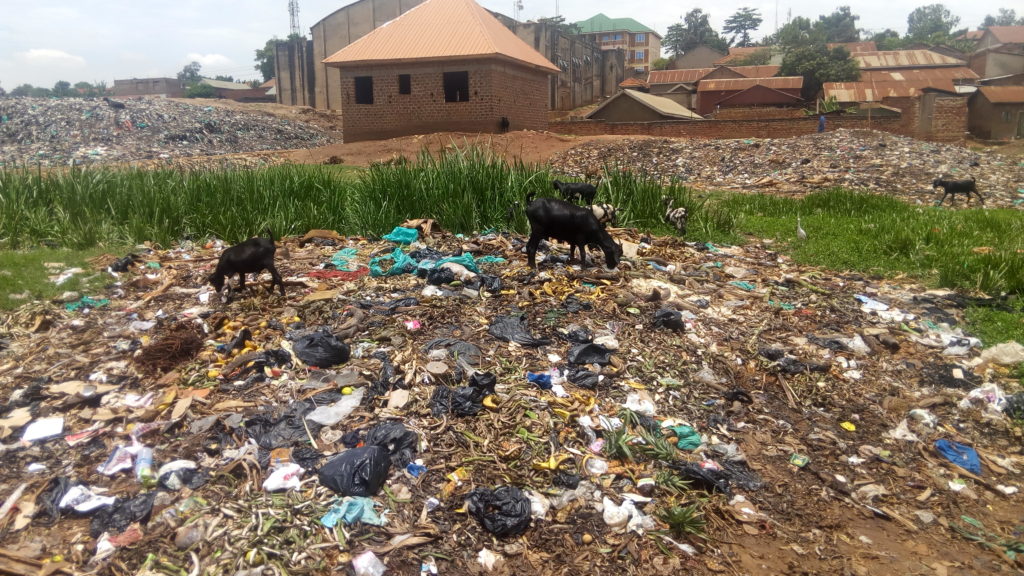

Spot a hazard.
Help your city respond faster.
Floods, air pollution, heat waves, illegal dumping — Crisp turns what you see on the street into a live signal for the people who can actually act on it.
About Crisp
A shared line of sight on the hazards affecting your neighborhood.
Most environmental hazards go unreported simply because there's nowhere obvious to send them. Crisp gives anyone with a phone a direct, five-second way to flag flooding, pollution, heat risks, illegal dumping, and other hazards — and puts every report on a public map so the people who can respond actually see it.
Report in seconds
Pick a category, snap a photo, and your location is captured automatically. No forms, no friction.
Everything on one map
Every report lands on a live, public map so neighbors, journalists, and local officials see the same picture.
Built for accountability
Reports stay open and trackable, so it's easy to see what's been acknowledged, and what still needs attention.
How it works
From sighting to signal in under a minute.
Spot it
See flooding, smoke, dumping, or another hazard? Open Crisp and pick the category that fits.
Snap & send
Take a photo. Your location is attached automatically, and you can add a quick note if it helps.
Track the response
Your report goes live on the map instantly, visible to your community and local responders.
Live Map
See what's being reported near you.
Every incident reported through Crisp appears here in real time, powered by free, open-source OpenStreetMap data.
Loading map…
Alerts